Beach trails in San Diego range from level paved walks beside the ocean to sandy shoreline routes and steeper paths through coastal bluffs. Those are very different outings. A beach trailhead on a map does not necessarily mean step-free access, an open route, or a safe connection along the sand. Start by choosing the surface and the amount of climbing your group actually wants.
Choose your kind of coastal hiking trail
For a paved sea-view walk, put Carlsbad's seawall or the Mission Beach boardwalk near the top of the list. For native vegetation, sandstone formations and elevation change, look at Torrey Pines State Natural Reserve. For a short cliff-side perspective, consider La Jolla's Coast Walk or designated paths at Sunset Cliffs. A lagoon trail is a useful alternative when the ocean shoreline is too narrow for a comfortable walk.
Beach hiking on sand takes more effort than the same distance on pavement. A route that looks flat can still be tiring, particularly on soft dry sand. Bluff trails add another consideration: the climb back. If you descend stairs or a long slope to reach the beach, keep enough energy and daylight to return by the same legal access rather than assuming you can continue to the next town.
Torrey Pines: trails above the beach
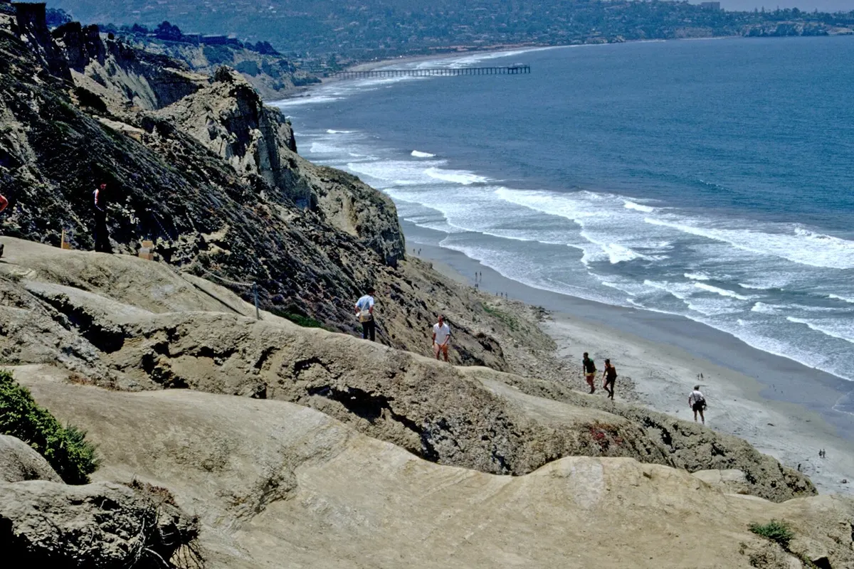
Torrey Pines combines an oceanfront state beach with a natural reserve above it. California State Parks describes the Guy Fleming Trail as a short loop with overlooks, and identifies Razor Point, Beach Trail and Broken Hill among the reserve's other routes. They are not interchangeable. An overlook loop can provide a coastal hike without committing to a descent onto the sand, while Beach Trail introduces a substantial change in elevation.
Use the State Parks visitor page and its linked current trail information before setting out. Construction, wet ground and resource protection can affect access. Older route descriptions may show connections that are temporarily unavailable. The official trail map is the right starting point for deciding where to park and which turn to take; an attractive social-media photograph is not a navigation guide.
Do not build a loop around walking beneath the bluffs unless the beach portion is clearly passable and conditions are appropriate. Tide height, swell and available sand all matter. Staying on a marked bluff route can be the better decision even on a bright day. Keep out of closed areas, give cliff edges space and resist making a shortcut across fragile vegetation to reach an overlook.
Carlsbad: an oceanfront sea wall walk
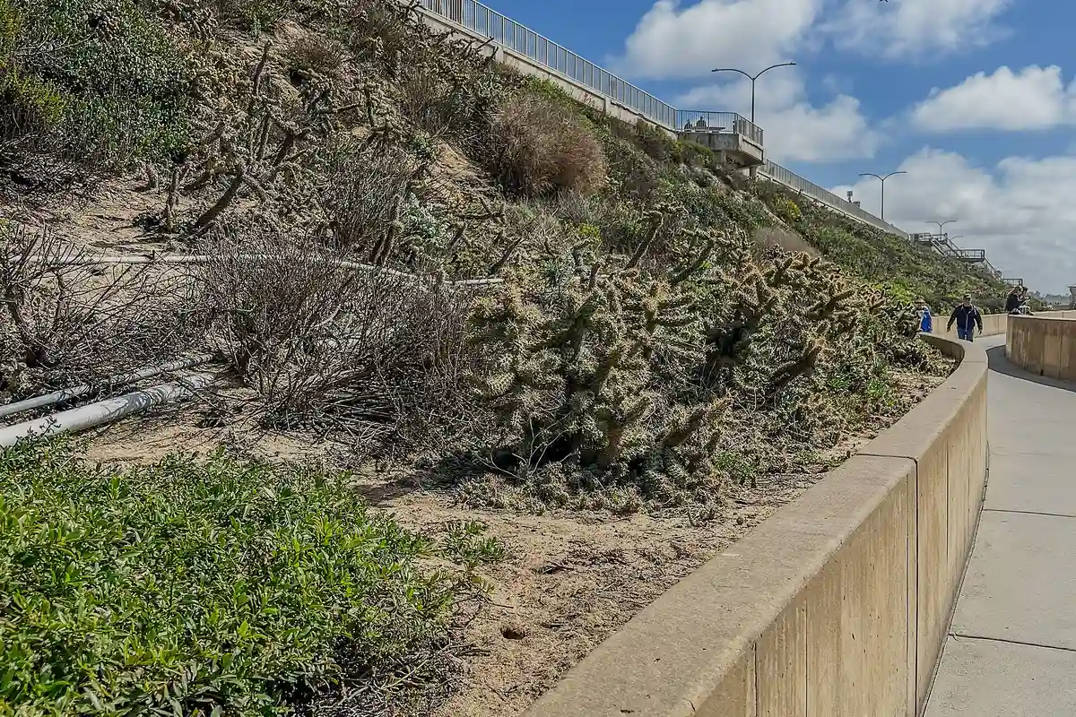
Carlsbad's seawall is a good candidate when the goal is a straightforward beach walk rather than a wilderness hike. The city describes two seawalls connecting Pine Avenue and Tamarack Avenue, with another seawall continuing south from Tamarack toward Cannon Road. The ocean remains the focus, but the surface and nearby street grid make it easier to choose a turnaround point without relying on a beach exit.
The upper and lower paths have different dog rules. According to the city, leashed dogs are permitted on the upper route but not the lower path. Restrooms and showers are at the ends of the Pine-to-Tamarack section. Read the Carlsbad Sea Wall Trail guide for the distinction between an upper sidewalk stroll, a lower seawall walk and a separate walk on the sand.
La Jolla Coast Walk: short does not mean featureless
The Coast Walk offers a change from a long straight beach. Its appeal is the coastal setting, not an endurance objective. Treat a cliff-side path as a place to slow down, keep children close and pass other walkers carefully. Uneven surfaces and narrow stretches make it a different proposition from a broad boardwalk. Use signed public approaches rather than improvising a descent toward the water.
For a longer day, pair a lawful Coast Walk outing with time at an established public shoreline park, rather than trying to connect every cove at water level. La Jolla's coast includes rocky shore and sensitive habitat, not a continuous walking beach. A path visible from above may lead to a dead end or a wet rock shelf rather than a through route.
Sunset Cliffs: choose the path, not the edge
Sunset Cliffs is a coastal landscape for looking, walking and noticing the changing light. Keep the outing on established public paths, well away from unstable cliff margins. Erosion is part of how these bluffs formed and continue to change. A dramatic edge in a photograph is not a recommended standing place, and a fence or closure should end the discussion about whether to proceed.
This is not the place to promise an uninterrupted low-tide beach hike. A bluff-top walk and a scramble down to a small cove are separate activities with different risks. If the group's real priority is a relaxed stroll beside the ocean, choose a developed waterfront path instead. Sunset is beautiful, but leave enough light to get back to your starting point without relying on a phone flashlight.
Mission Beach: pavement instead of a beach trailhead
The Mission Beach oceanfront boardwalk suits walkers who want a visible route and the option to stay off the sand. It is an urban waterfront, shared with people moving at different speeds. Walk predictably, leave space for others to pass and avoid stopping across the full path for photographs. A short out-and-back is often more pleasant than chasing a mileage target on a crowded afternoon.
The bayside is a different setting from the oceanfront. Before starting, decide which shoreline you intend to follow and identify a clear meeting point. “Meet at Mission Beach” is too vague for a separated group. If someone needs a restroom, a shorter route or an early departure, a planned turnaround near your original access is easier than a one-way walk that requires arranging another ride.
Lagoon walks when the ocean is not the right fit
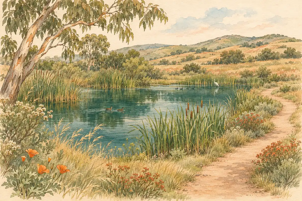
Coastal hiking does not have to happen on the exposed ocean edge. Batiquitos Lagoon and San Elijo Lagoon introduce wetland scenery and birdwatching opportunities. Check the relevant preserve's current map and rules; a trail beside protected habitat is not an invitation to wander onto mudflats or nesting areas. A lagoon route also should not be described as a beach-access shortcut unless the official map explicitly shows that connection.
For a more inland option, Guajome Park has a county-managed trail network through multiple habitats. It is not an ocean beach hike, but it is worth considering for a group more interested in walking and birding than in reaching the surf. Choose the setting honestly rather than forcing every outing into a “best beach hike” category.
How to find beach walks near you that actually fit
If you are searching for “beach hikes near me,” start with the nearest coast town, then compare access rather than just distance. A nearby staircase beach can take more effort than a slightly farther level waterfront path. Check the official parking information, the route's surface, current closures and whether the return requires climbing. For a one-way plan, arrange transportation before setting off instead of assuming it will be easy at the far end.
Bring water, sun protection and shoes suited to the surface. Check tides for any sand section and check posted warnings at the trailhead. Do not walk below crumbling bluffs or try to outrun waves around a headland. If the beach narrows or a route is closed, turn around. The most useful coastal trail is the one your group can enjoy and leave comfortably, not the one with the most impressive distance on a map.
Questions before you go
Which San Diego beach trails are paved?
Carlsbad's seawall paths and the Mission Beach oceanfront boardwalk offer paved coastal walking. Check the exact access and current conditions before choosing a route.
Do all coastal hikes reach the beach?
No. Bluff-top and lagoon trails can provide coastal scenery without a connection to the sand. Follow the official trail map rather than assuming a descent exists.
What tide is best for beach hiking?
A lower tide may expose more sand, but swell, erosion and local pinch points also matter. Never treat a low-tide prediction as proof a route is safe.
Sources & further reading
Official information and references for this guide. Check the source for current access, rules and conditions.
- Torrey Pines State Natural Reserve/State Beach
- Beach Hikes & Trails
- Seven Star Coastal Hikes in San Diego County
- Official visitor information
- Torrey Pines State Beach — verified coordinates
- Carlsbad State Beach — verified coordinates
- Self Guided Tour of Wildlife Preserves | City of San Diego Official Website
- Famosa Slough - Friends of Famosa Slough
- History - Friends of Famosa Slough
- Famosa Slough State Marine Conservation Area (No-Take)
- Batiquitos Lagoon | Carlsbad, CA
- Batiquitos Lagoon State Marine Conservation Area (No-Take)
- Batiquitos Lagoon Ecological Reserve
- Friends of Coast Walk Trail