
The coast, collected
San Diego Hiking Trails: Beach & Bluff Walks
San Diego hiking trails, beach paths and lagoon walks offer very different ways to spend a few hours outside. A flat-looking line on a map can include stairs, loose surfaces or an exposed stretch without shade. Choose the route for the group you have today, not the distance someone else recommends.
This collection favors the connection between landscape and practical planning. Start with the setting: a bluff-top view, a shoreline walk or a quieter trail around wetland habitat. Then read the individual guide and check official information for current access, closures and rules. We do not make up mileage or promise that a route is suitable for every stroller, wheelchair or dog.
Bring water, sun protection and a plan for turning around. Beach walks can depend on the tide and conditions; trails near cliffs deserve extra attention to barriers and changing ground. A shorter walk with time to notice birds, plants or the shape of a headland can be more satisfying than hurrying toward a distance target. Leave the trail and the wildlife as you found them, and keep another route in mind if conditions do not fit.
The field notes
13 guides · newest updates first

San Diego Wildflowers: A Coastal Seasonal Chart
A small field-guide chart for coastal plants, not a promise of a superbloom or a live bloom report.
Open the guide →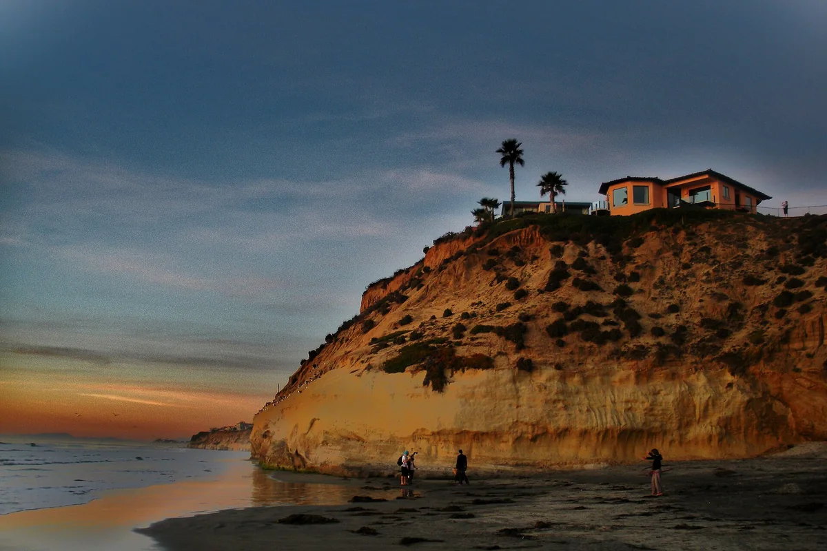
Seascape Sur Beach: Walking Solana Beach’s Shoreline
A practical guide to Seascape Surf, often searched as Seascape Sur, and the neighboring Solana Beach accesses.
Open the guide →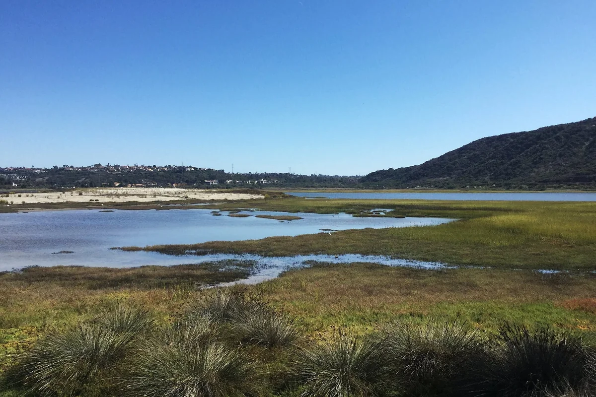
Batiquitos Lagoon Trail Map and Walking Guide
A north-shore lagoon walk with official map sources and clear distinctions between route length, access and reserve rules.
Open the guide →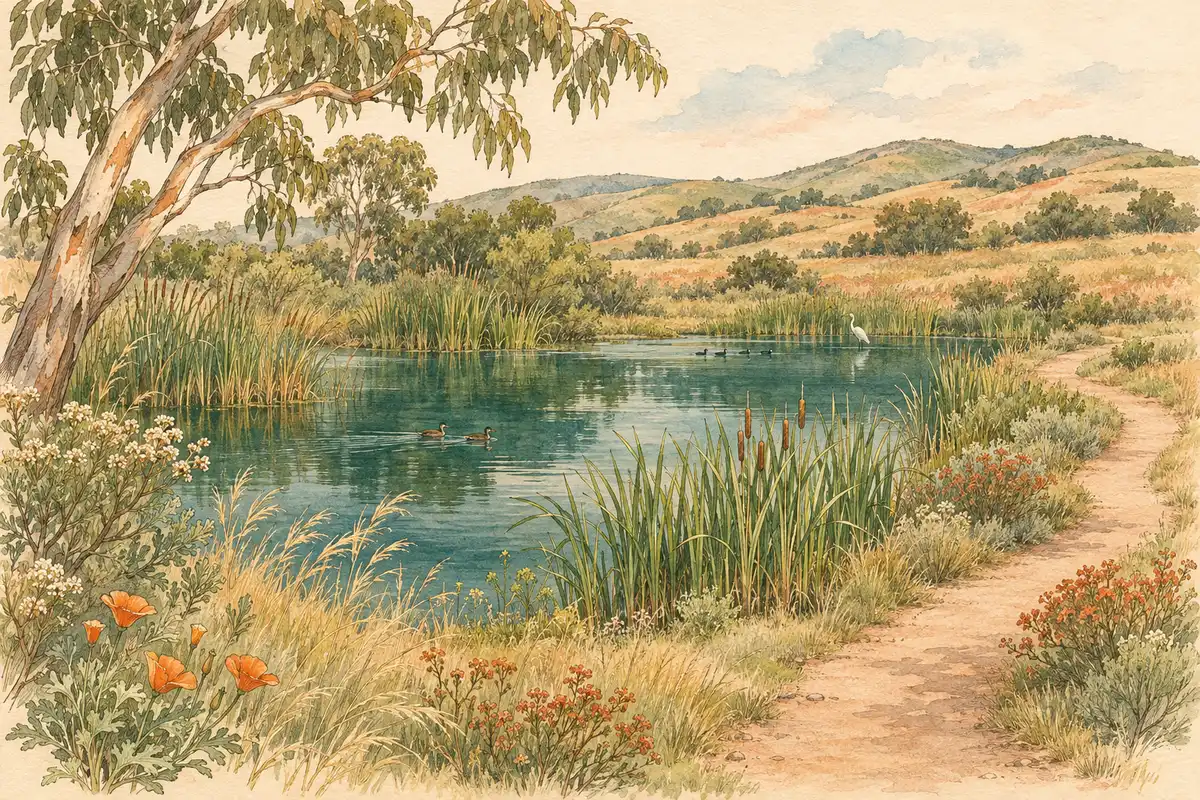
Guajome Park: Lake Walks, Fishing and Camping
An inland Oceanside park with ponds, several habitats and a campground. Bring a trail map and choose a loop that matches the day.
Open the guide →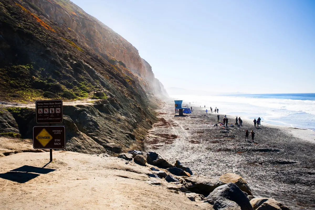
Torrey Pines Beach: State Beach, Cliffs and Flat Rock
A practical guide to the sand below Torrey Pines, with the differences between the beach, reserve and Black’s Beach explained.
Open the guide →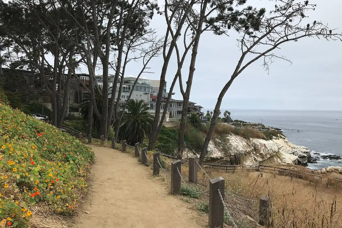
La Jolla Coast Walk Trail: Access, Views and Safety
A short bluff-top route links the Cave Store area with Coast Walk near Torrey Pines Road. Come for ocean views, not beach access.
Open the guide →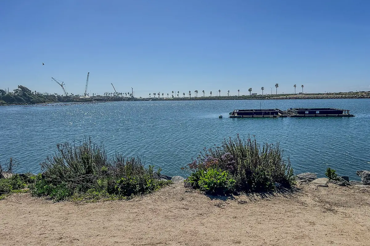
Agua Hedionda Lagoon Garfield Street Trailhead Guide
How to use the Garfield Street access for the short North Shore Hubbs Trail beside Agua Hedionda’s outer lagoon.
Open the guide →
San Onofre Bluffs Trail 1: Closures, Maps and Beach Safety
The latest State Parks notice limits access south of the Trail 1 parking lot. Do not use older hike descriptions as evidence that the southern bluffs are open.
Open the guide →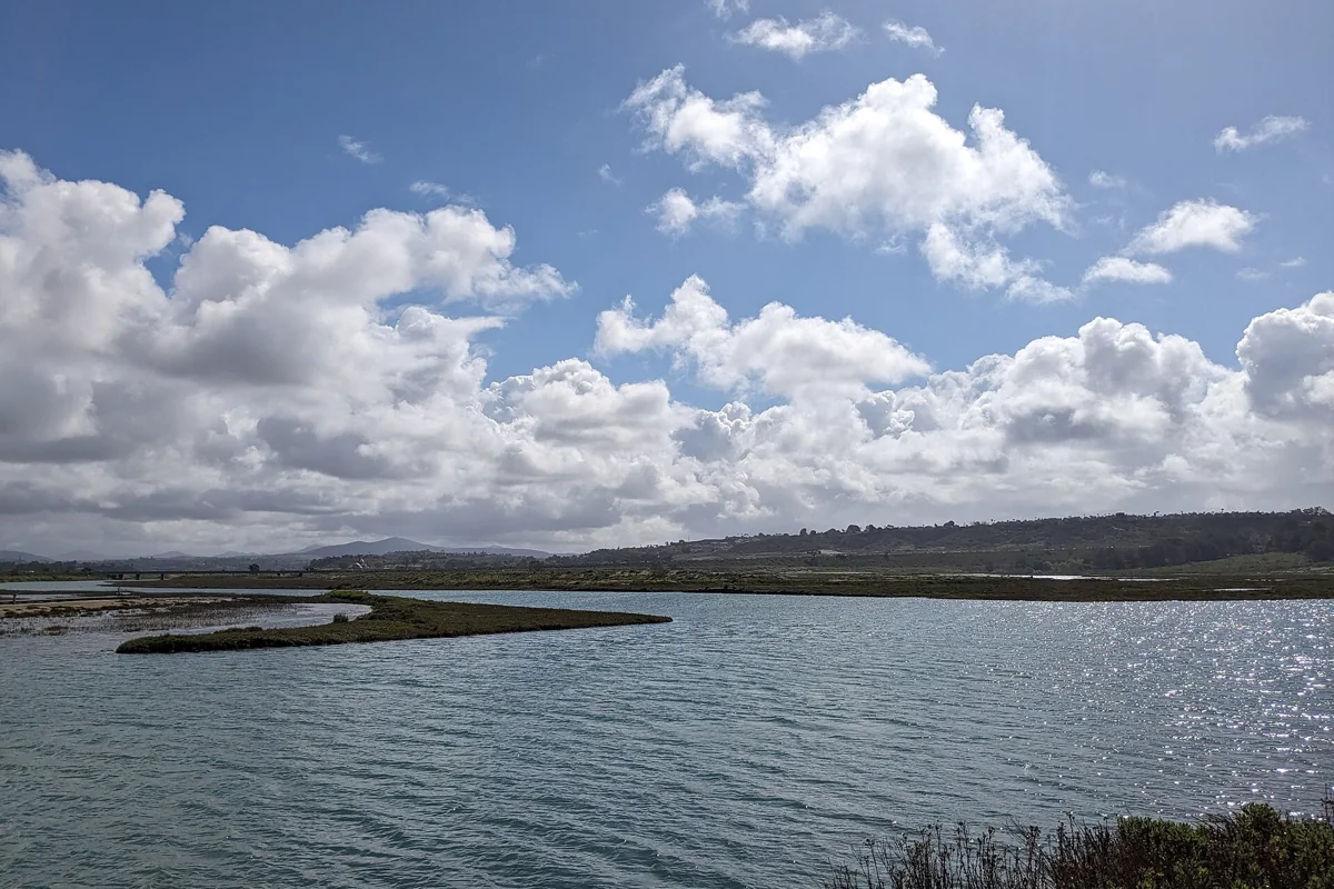
Coast to Crest Trail at San Dieguito Lagoon: Walking Guide
The lagoon section is an easy-rated part of a much larger trail system. Use the official map to choose a short out-and-back or a longer wetland walk.
Open the guide →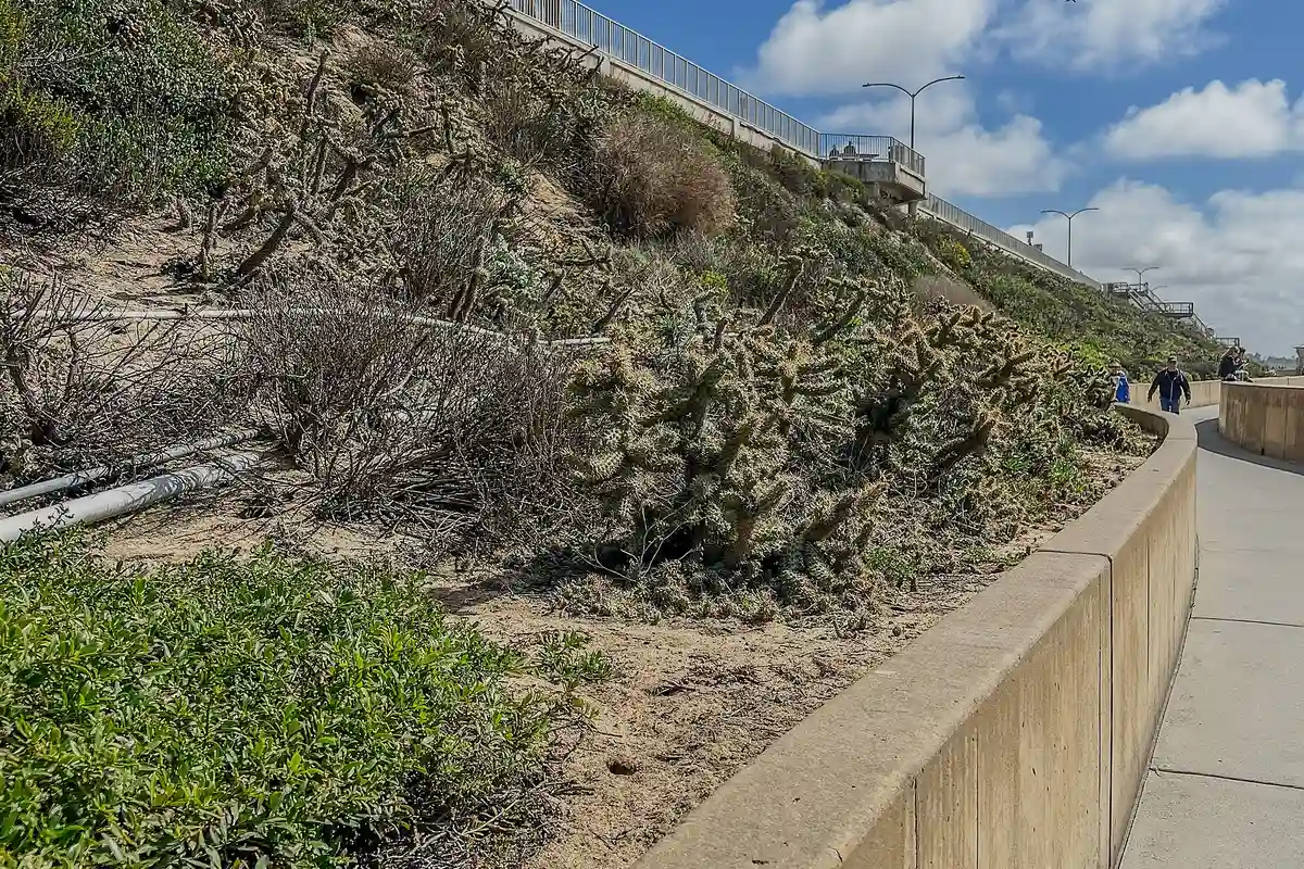
Carlsbad Sea Wall Trail: Upper and Lower Walks
An easy-to-plan oceanfront walk, with one important detail: Carlsbad's upper and lower seawall paths have different dog rules.
Open the guide →
Long Walks Along the Beach: San Diego Coastal Routes
Choose a long coastal walk by surface and exit options, not just a line on a map. Sand, boardwalks and bluff trails offer different kinds of days.
Open the guide →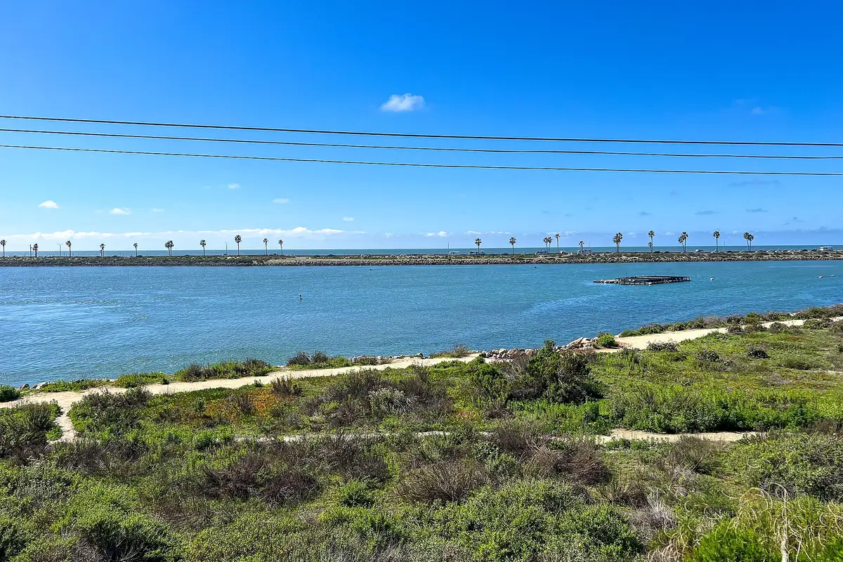
Agua Hedionda Lagoon: Discovery Center and Trail Guide
Start at the Discovery Campus, then choose a lagoon-side walk that fits your group. Separate trailheads make a little advance planning worthwhile.
Open the guide →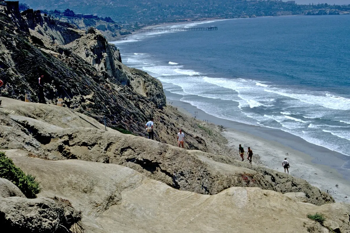
Beach Trails: Unique San Diego Coastal Hikes
Choose a beach trail for the experience you want: sand underfoot, a paved oceanfront stroll, or a bluff-top hike with room to watch the waves.
Open the guide →