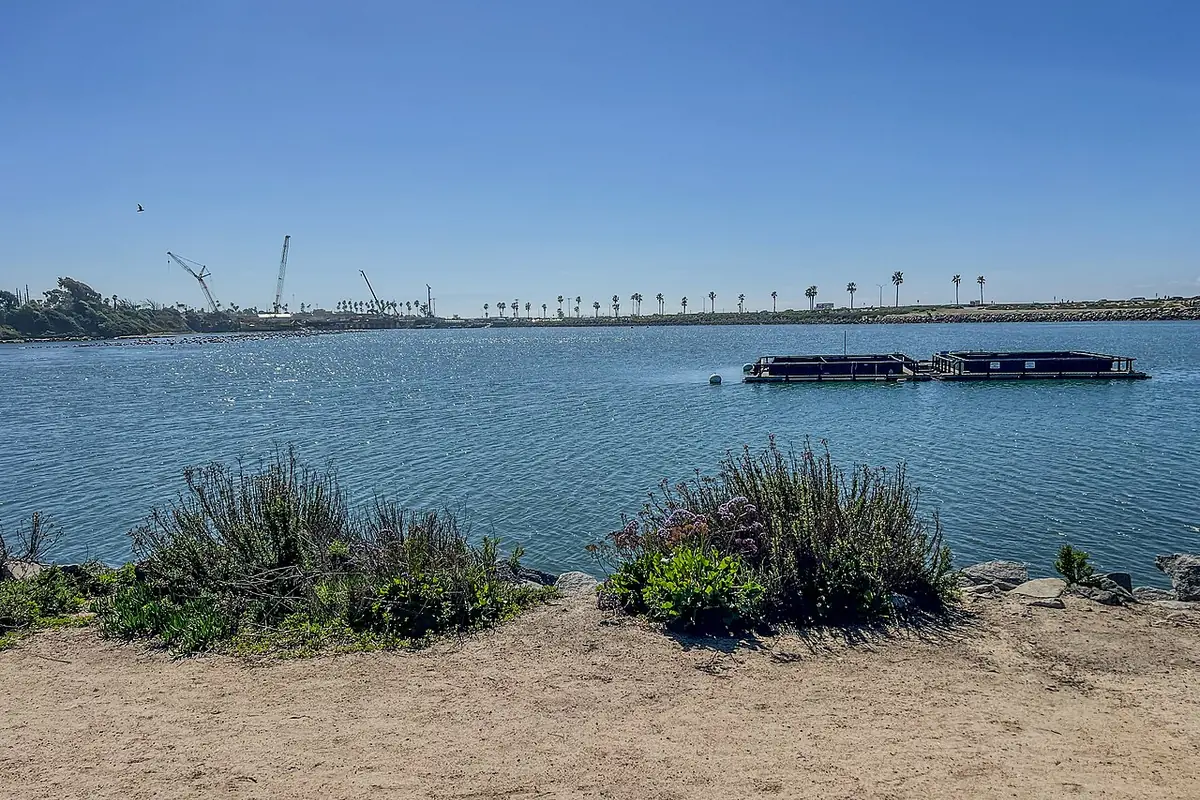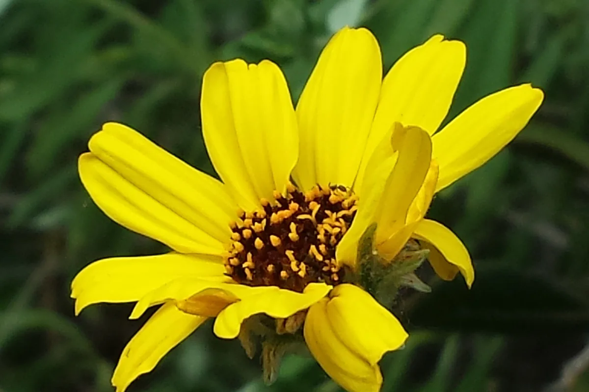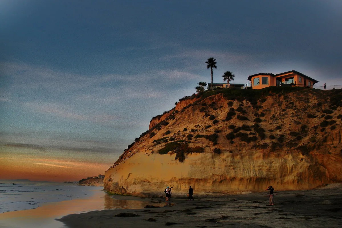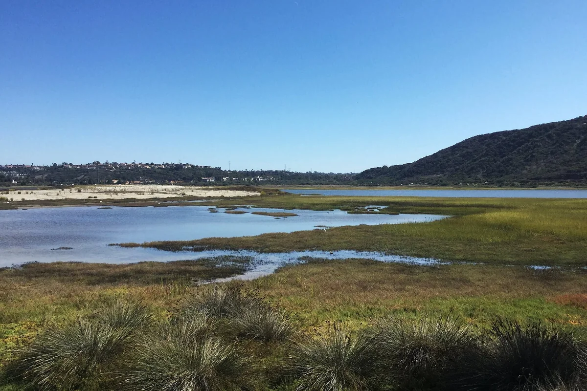
A Batiquitos Lagoon trail map is the best starting point for this Carlsbad walk, because the reserve has several access points and a north-shore route rather than a loop around the whole lagoon. Use the city’s trail information and CDFW’s reserve map to choose your entrance, then decide on a turnaround that fits the group.
Where to find an official trail map
The CDFW Batiquitos Lagoon Ecological Reserve page links to its Lands Viewer and printable map. Carlsbad’s lagoon and Aviara trail pages provide additional route context. Save the map before setting out so you are not dependent on a search result at every junction.
A map is a planning tool, not proof that every segment is currently open or suitable for your mobility needs. Follow on-site closures and signs. Keep the lagoon shoreline, the official trail and nearby neighborhood paths distinct, and do not follow an informal track into habitat because it appears to shorten the walk.
Gabbiano Lane access
CDFW gives the main trail access at the end of Gabbiano Lane, south of Batiquitos Drive. Its directions approach from Poinsettia Lane, continue south on Batiquitos Drive and turn onto Gabbiano through a residential neighborhood. Carlsbad identifies the foundation’s nature center at 7380 Gabbiano Lane.
Public parking is limited according to CDFW, so arrive with a flexible plan. Read signs and keep driveways clear. Do not promise a group several spaces beside the trailhead or use residential access as overflow without checking the rules. If you choose another entrance, verify it on an official map rather than improvising a route down a slope.
How long is the Batiquitos Lagoon trail?
Carlsbad describes the public north-shore walking trail as 2.7 miles long and notes that additional segments are planned. Treat that as route context, not a required outing distance. It does not mean every visitor should walk 2.7 miles out and then discover that the car is the same distance back.
Choose an out-and-back turnaround before you begin and adjust for the actual entrance used. A short bird-watching walk can be as satisfying as a longer route. Allow time for stops, water and the return, especially with children or anyone who tires easily. Do not assume a map line across the wider lagoon area creates a legal pedestrian loop.
Surface and accessibility
The city’s Aviara trail information describes unpaved surfaces and identifies an accessible section from Gabbiano Lane toward the nature-center area. Do not extend that description to the entire lagoon route without checking the current official details. Slope, footing, width and recent weather may matter differently for different users.
If a specific mobility measurement or facility is essential, contact the city or foundation before the visit. A short route near the entrance may be a better match than committing to the full north shore. Bring shoes suitable for an unpaved walk, sun protection and water, and reassess if the surface is wet or damaged.
Dogs, bicycles and reserve rules
Carlsbad says dogs are allowed on the trail but must be leashed. CDFW requires dogs to remain under their owner’s control and prohibits bicycles and horses in the reserve. Keep pets close, pick up waste and do not let them approach birds or enter habitat at the water’s edge.
The reserve page also prohibits fishing east of Interstate 5 and says drones require a special-use permit. Read the full rules before bringing equipment. This is a habitat-protection area with a public walking route, not a general recreation beach. A visible open space is not permission for an off-leash run, a bike shortcut or a launch into the lagoon.
Bird watching and the nature center
The city identifies the Batiquitos Lagoon Foundation as the provider of docent-led walks and self-guided information. Check the foundation’s current calendar and nature-center arrangements rather than assuming an educational program is offered every day. The outdoor trail can still be worthwhile when a staffed visit is not available.
Bring binoculars and watch from the route. Pay attention to how birds use open water, mud and shoreline vegetation without leaving the trail for a closer picture. Avoid loud playback, feeding and chasing birds into flight. A patient stop often reveals more than covering the greatest possible distance.
Make it a manageable lagoon outing
Start with the official map, choose an entrance and set a modest turnaround. Check posted conditions on arrival and keep the outing flexible if parking is full or a section is closed. Take litter home and leave plants, shells and habitat undisturbed.
For another short Carlsbad water-side route, compare the North Shore Hubbs Trail at Agua Hedionda; the two lagoons have different access and rules. Browse the birding guide if observing wildlife is your main interest, or coastal hiking for walks with a different length and terrain.
Planning more of the day in town? See things to do in Carlsbad for the seawall, the other lagoons and family attractions.
About the map pin
The map pin identifies the lagoon area, not a trailhead. Use the official map and Gabbiano Lane directions to reach the walking route.
Questions before you go
Is the Batiquitos trail a loop around the lagoon?
Do not plan it as a complete lagoon loop. The public walking route described by Carlsbad follows the north shore.
Are bikes allowed in Batiquitos Lagoon Ecological Reserve?
No. CDFW lists bicycles among prohibited uses in the reserve.
Sources & further reading
Official information and references for this guide. Check the source for current access, rules and conditions.