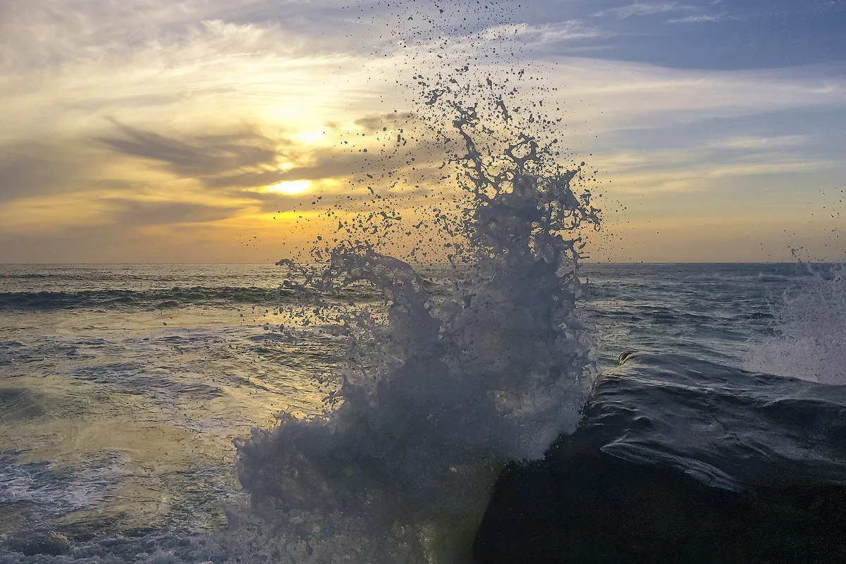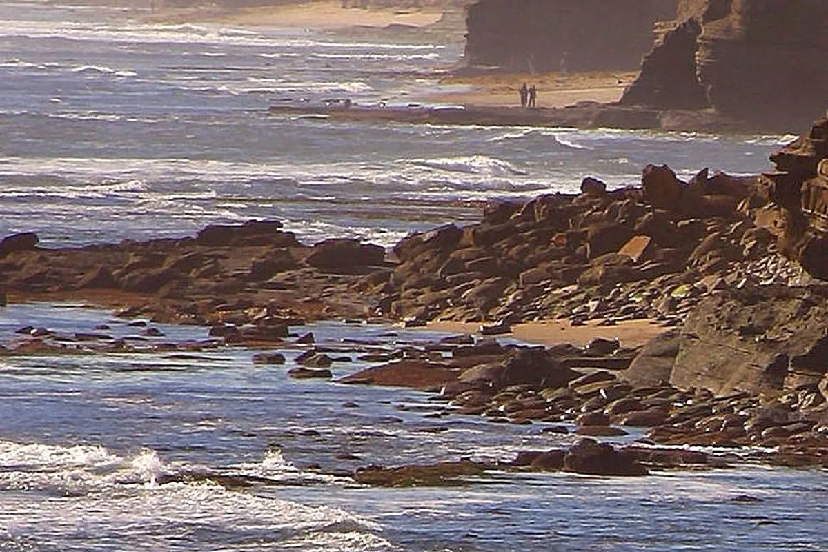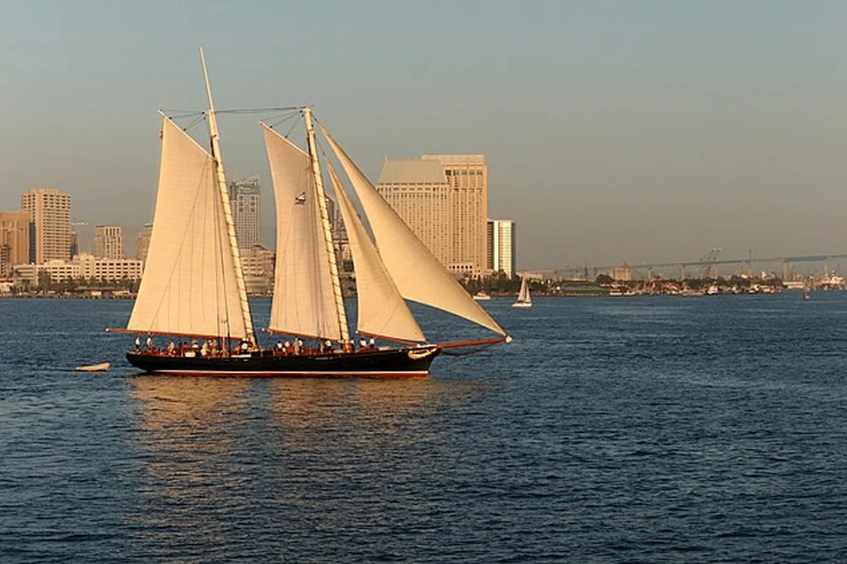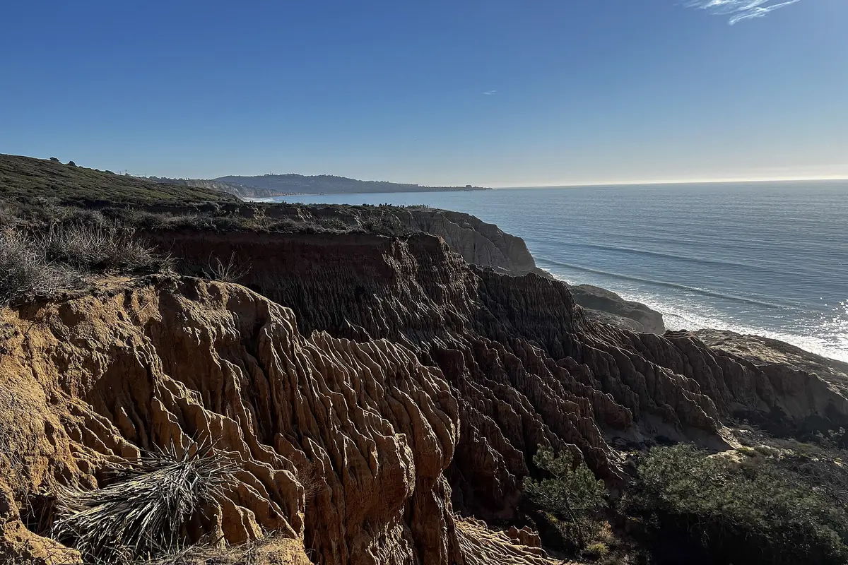
San Diego coast photos can show very different places: a sandy ocean beach, a sandstone bluff, a sheltered bay or a rocky wildlife shoreline. Use this visual guide to connect those settings with practical trip planning. The featured image is a credited photograph, not a claim that our editors personally visited every viewpoint or a promise that the same conditions will appear on your day.
Think of the coast as a series of distinct scenes rather than one continuous beach. The most useful photo plan begins with the place and its access rules, then adapts to the light. A beautiful picture is not worth crossing a wildlife barrier, standing on an unstable edge or blocking a public path.
La Jolla: rocks, sand and marine life
La Jolla's shoreline provides several visual themes within one area. The Shores offers broad sand and a beachside park, while the Village coastline includes small coves and rocky margins. Windansea is known for reef-shaped surf and sandstone formations. These are separate settings, not interchangeable map labels.
Use our La Jolla beach comparison to choose a destination that fits your group. Sand levels, surf and public access can change the scene substantially. A photograph taken at low tide may show a beach that is much smaller when you arrive.
Sunset Cliffs: photograph from the established path
Sunset Cliffs Natural Park is associated with coastal bluffs, arches and sea caves, but the safer photographic approach is from open established paths well back from edges. The city's official park information and map are better starting points than an image that omits how the photographer reached a ledge.
Look for a composition that works without a descent. Keep bags and tripods out of the walking route, and do not step backward while looking through a phone. Our Sunset Cliffs guide explains why the bluff walk can be the entire outing rather than a route to a cliff-bottom photograph.
Mission Bay: a different kind of coast picture
Mission Bay gives a different impression from the open Pacific shoreline. A visit to Fiesta Island can focus on the bay setting, an open-space walk or an evening picnic. Do not label those photographs as San Diego Bay; the two water areas are distinct.
If dogs are in the picture, ask owners before making close portraits and keep animals from disturbing birds or entering closed habitat. A leash-optional park still has restricted areas. Do not encourage someone to release a dog or stage a chase to create an action shot.
San Diego Bay: waterfront and skyline
The working harbor offers park views, boats and a downtown skyline rather than an uninterrupted ocean horizon. The Port of San Diego lists public parks around the waterfront, including Shelter Island and the Embarcadero area. Use named public destinations and do not enter marinas, terminals or naval areas because a fence interrupts the view.
Our San Diego Bay guide helps choose a manageable waterfront section. If photographing from a cruise, follow the crew's instructions, secure your equipment and leave room at the rail for other passengers. A moving boat is not a stable platform for leaning out to improve an angle.
Tide-pool close-ups without collecting
A small marine scene can be as interesting as a wide panorama. NPS recommends appropriate footwear and careful attention to waves in rocky intertidal areas. Leave organisms and rocks in place, and do not move an animal into better light or a cleaner background. The habitat is part of the photograph.
Plan around current tides and surf, not an old photo caption. Our tide-pool guide compares locations and access tradeoffs. If water is washing over the route, put the camera away and remain onshore. A tide prediction does not control the next wave.
Wildlife photos: distance comes first
At Point La Jolla, public-access restrictions protect the sea lion rookery year-round. Use open overlooks and a longer lens rather than approaching animals. NOAA's viewing guidance recommends distance and warns against feeding, touching or otherwise interacting with marine mammals. A sleeping animal is not a willing portrait subject.
Small shorebirds need similar restraint even without a large barrier nearby. If a bird keeps moving ahead of you, change course instead of following it. Never approach a nest, move beach wrack for a cleaner frame or use food to attract wildlife.
How to read a coastal photograph before planning a trip
- Identify the exact place rather than relying on “San Diego coast” as a location.
- Notice whether the scene depends on low tide or seasonal sand.
- Check whether access is public and currently open.
- Separate historical photos from current operational information.
- Read the image credit and license before reusing it.
This page uses licensed imagery with attribution rather than presenting an invented collection of personal travel shots. For your own photographs, note the place and conditions so the caption remains useful later. The best coastal image tells the truth about a setting while leaving its wildlife, paths and shoreline ready for the next visitor.
Sources & further reading
Official information and references for this guide. Check the source for current access, rules and conditions.