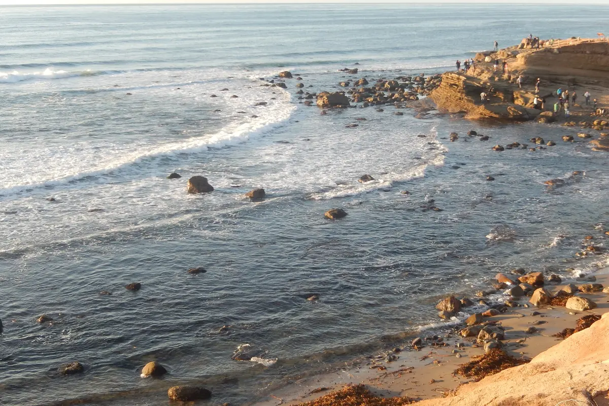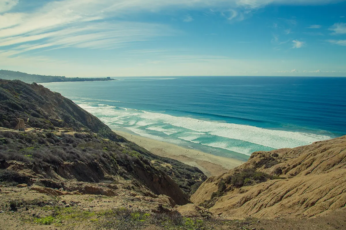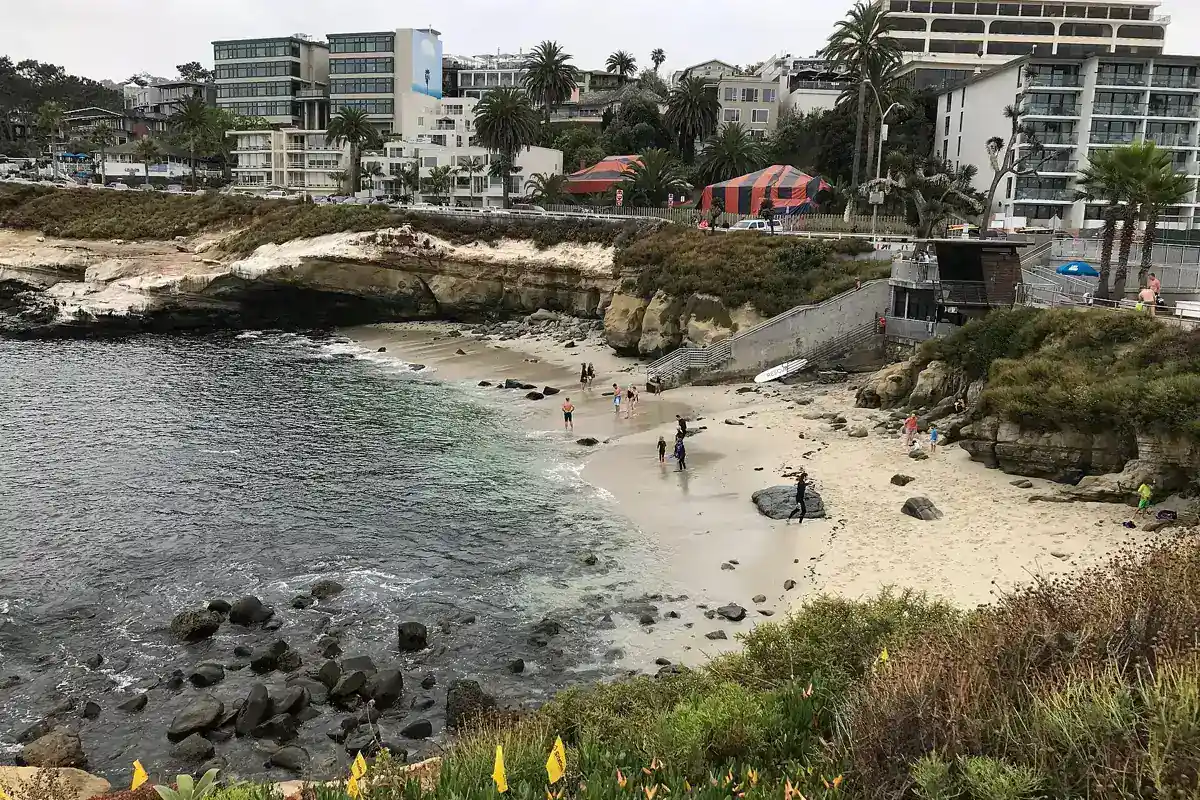
King tides San Diego observers see are unusually high predicted tides, not a special type of wave. The California King Tides Project uses these events to document how high water reaches the coast. Plan a safe, elevated view and check the local tide time; the date alone does not tell you when to arrive or whether conditions will be suitable.
Current California King Tides Project dates
As checked for this guide's November 2026 update, the California Coastal Commission lists statewide project dates of November 24–26, 2026, December 23–25, 2026, and January 21–22, 2027. The commission notes that some additional dates apply in Northern California. Use the official project page and its local tide map for San Diego rather than transferring a Northern California time.
These are project dates selected around high predicted astronomical tides, not a declaration that the same water level occurs at every California location. Confirm the location, date and local time immediately before your outing. If dates on this page become outdated, the commission's current season information should take precedence.
What causes a king tide?
The project bases its dates on the relative positions of Earth, the moon and the sun and the resulting high astronomical tide predictions. The term king tide is a convenient way to discuss unusually high tides; it is not a substitute for reading the forecast at your chosen coast.
Predicted tides do not include every effect of weather, storm surge or wave runup. Actual water can reach higher than a simple tide number suggests. A high tide on a calm day and a high tide during a strong swell can produce very different conditions. Check weather, surf warnings and local closures in addition to the tide table.
Where to watch in San Diego
Favor established, open public overlooks and elevated promenades that remain comfortably outside the reach of waves. The right location depends on current conditions and closures, not a fixed list of dramatic photo spots. Inspect the area from a distance and leave if waves, spray, flooding or crowding make the route questionable.
Do not choose narrow sand below cliffs, low rocky platforms, storm drains or sea caves for high-water viewing. A place that works at ordinary low tide may be unsuitable during a king tide. The purpose is to observe the ocean's reach, not to stand at the furthest point it might reach. Never cross a closure for a more striking photograph.
A safe high-tide photo plan
The Coastal Commission invites people to photograph high-water conditions safely and contribute to its project. Choose a stable position well away from edges and keep the camera secure. Show a recognizable shoreline feature, such as a lawful public viewpoint or built structure, so the water level has context.
Check the project's current submission instructions for any requested location, time and photo details. Do not claim that a single picture proves a future flood level; waves and weather influence the scene. If revisiting a location for comparison, remain flexible: a previous camera position may not be safe or open during the next event.
Keep a clear return route
Watch the entire approach, not just the viewpoint. Water can cross a low path behind you, and an incoming set can interrupt an apparently dry shoreline. Avoid entering a location that depends on timing a gap between waves. Stay away from cliff bases and unstable edges even if the tide seems to be the main concern.
High water can also push shorebirds into smaller resting spaces farther inland. The commission specifically asks observers not to disturb wildlife displaced upland. Give birds room and keep dogs under control wherever permitted. Do not treat the temporary concentration of animals as an opportunity for close approach.
Are king tides good for tidepooling?
King tide seasons can coincide with very low tides at other times, but high tide itself is not a tidepooling window. Check the individual low-tide prediction and site access separately. At a managed destination such as Cabrillo National Monument, useful low water must coincide with the coastal area's opening schedule.
Do not combine a morning high-water photo plan with an unverified cave or cliff-base walk later. Read the complete tide sequence and surf outlook. A negative tide number never guarantees safe rock or an open return route, especially when swell continues to reach the shore.
King tides and coastal change
The project uses present-day high water to encourage discussion of future sea levels and coastal adaptation. It is a visual learning tool, not a forecast that every location will flood in the same way. Local elevation, shoreline shape, infrastructure and weather all affect what you see.
For a wider look at the moving coast, read our Black's Beach landslide history. Erosion, slope failure and high water are related parts of a coastal setting, but no single event explains every change. Stay with official guidance, record observations carefully and skip the outing whenever safe viewing is not possible.
By 70 Miles of Coast editors.
Sources & further reading
Official information and references for this guide. Check the source for current access, rules and conditions.