A super bloom San Onofre search should begin with a reality check: there is no verified promise of a mass wildflower display in a particular spring. San Onofre's coastal landscape can be rewarding without a blanket of flowers. Plan for an ordinary nature walk on open trails, check State Parks notices and treat any blooms you find as habitat rather than a photo set.
What this guide can and cannot confirm
We could verify the park's varied coastal habitats and the requirement to protect wildflowers. We could not verify a current San Onofre super bloom forecast or a reliable bloom calendar for a specific trail. We therefore do not advertise an active display, repeat an old photo as a current report or send visitors to an unconfirmed flowering location.
Before a seasonal trip, check the official San Onofre State Beach page and any park-issued updates. A social post may show a different year, a different park or a view taken from outside a public route. Confirm the date and location before treating it as useful planning information.
Know the three San Onofre areas
State Parks distinguishes the Bluffs, Surf Beach and San Mateo Campground areas. These are not interchangeable entrances to one flower field. San Mateo is inland and has a nature trail connecting to Trestles; the Bluffs area has separate coastal access; Surf Beach is a day-use surf destination.
Choose a specific open route instead of searching for the closest flower-colored patch on a satellite map. Our Trestles trail guide explains the campground nature trail and common access distinctions. A campground address is not permission to wander across surrounding habitat, and a surf-beach parking place does not establish access to every bluff trail.
Important Bluffs closure check
State Parks' October 23, 2026, notice describes partial reopening after the Scales Fire, with the two northernmost parking lots open and areas south of the Trail 1 parking lot remaining closed. The notice applies to vehicles, pedestrians and bicycles in the specified closed area. Read the live restriction notice for the latest status before traveling.
A closure map is more important than a seasonal bloom rumor. Do not enter a closed area on foot because you are not driving, and do not follow somebody around a barrier. Fire-affected trails and infrastructure may remain hazardous even when vegetation looks attractive from outside the boundary.
Coastal plants deserve attention beyond flowers
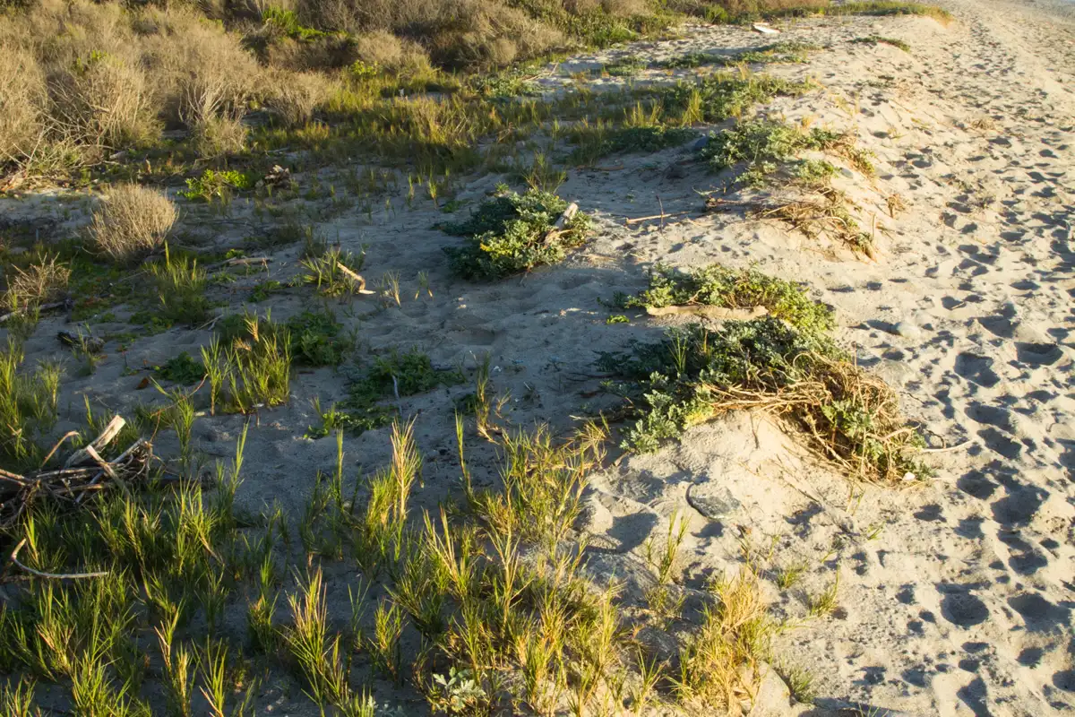
The park brochure describes vegetation adapted to winter rain and warm, dry summers, including California sage, laurel sumac, sycamore and grasses. Different habitats provide different plant communities, from bluff-top vegetation to creekside growth. A short walk can show these contrasts without producing a bright, continuous carpet.
Look at leaf shape, plant height and the way vegetation changes with moisture and exposure. Avoid calling every colorful plant native or every dry-looking plant dead. Use official interpretation or a reliable local plant guide for identification. Our San Onofre plants guide focuses on habitat observation rather than a guaranteed species checklist.
How to photograph wildflowers without damaging them
Stay on established, open trails. State Parks asks visitors not to pick wildflowers so they can complete their reproductive cycles. That also means not flattening plants to create a sitting area, stepping into a patch for a portrait or moving stems to improve a composition.
Use a zoom or photograph flowers already beside the path. A lower camera angle can suggest a larger patch without requiring entry into it, but keep the caption honest about what was actually present. Do not build a new trail because a worn footprint suggests others have done so. Repeated small detours can damage a place long after the flowers fade.
Rain, ground conditions and flexible plans
Do not use recent rain as proof that a bloom will occur or that a trail will be ready for visitors. Check current closures and avoid damaging wet surfaces. Bring footwear suited to the route, sun protection, water and a layer for changing coastal weather.
Have a plan that remains worthwhile if flowers are sparse: observing plant communities, watching the ocean from a safe viewpoint or taking an approved nature walk. Do not try to rescue a disappointing trip by driving from unverified pin to unverified pin. The most productive response to uncertain bloom conditions is a flexible outing, not a more invasive search.
Wildlife, dogs and responsible visiting
Follow the exact trail and pet rules for the area you choose. Do not assume that a dog allowed in a campground may accompany you onto every nature trail or beach. Keep away from nesting birds, creek habitat and restoration fencing, and pack out all food and litter.
San Onofre lies at the San Clemente-area edge of the county and deserves a deliberately planned visit rather than a rushed add-on from central San Diego. Check access before the drive, accept the actual seasonal conditions and leave every plant where it is. A modest bloom viewed responsibly is better than a spectacular photograph made by trampling the place.
By 70 Miles of Coast editors.
Sources & further reading
Official information and references for this guide. Check the source for current access, rules and conditions.