Coronado Island Beach San Diego searches usually lead to Coronado Beach, the broad Pacific-facing stretch near the Hotel del Coronado. But Coronado also has a bayfront, ferry landing area and a long connection to the mainland called the Silver Strand. Choosing which side you want to visit is the first planning decision. An ocean beach afternoon, a skyline photography walk and a ferry outing can all happen in Coronado, but they do not begin at the same spot.
Is Coronado an island?
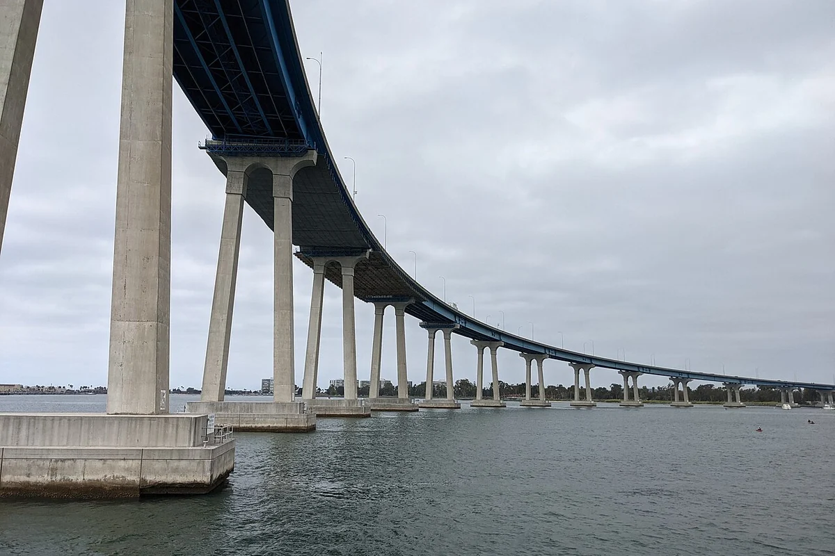
Despite the familiar name Coronado Island, Coronado is connected to the mainland by the sandy Silver Strand. The City of Coronado's geography overview describes that land connection as well as the San Diego–Coronado Bridge. For travel planning, it is useful to think of Coronado as a peninsula rather than a detached island that can only be reached by boat.
The island name is deeply established in everyday use, so it is not surprising to see it in hotel descriptions and directions. The practical lesson is simpler than the terminology debate: you can arrive by road, and the road route you choose changes your approach to town. A ferry arrival places you on the bay, not directly on the Pacific beach.
Where is Coronado in California?
Coronado is in San Diego County, across San Diego Bay from downtown San Diego. It has Pacific Ocean frontage on one side and bay shoreline on the other. A map is particularly helpful here because a short straight-line distance across water can disguise a longer trip by road. Look at your actual starting point and arrival mode instead of estimating travel time from the skyline view.
Do not confuse the public city with adjacent military property. Naval facilities occupy portions of the surrounding landscape, and a road or stretch of sand visible on a map may not be public access. Follow signs and remain within visitor areas. The attraction of a continuous shoreline is not a reason to cross a boundary or assume a gate is an alternative beach entrance.
Coronado Beach: the main ocean choice
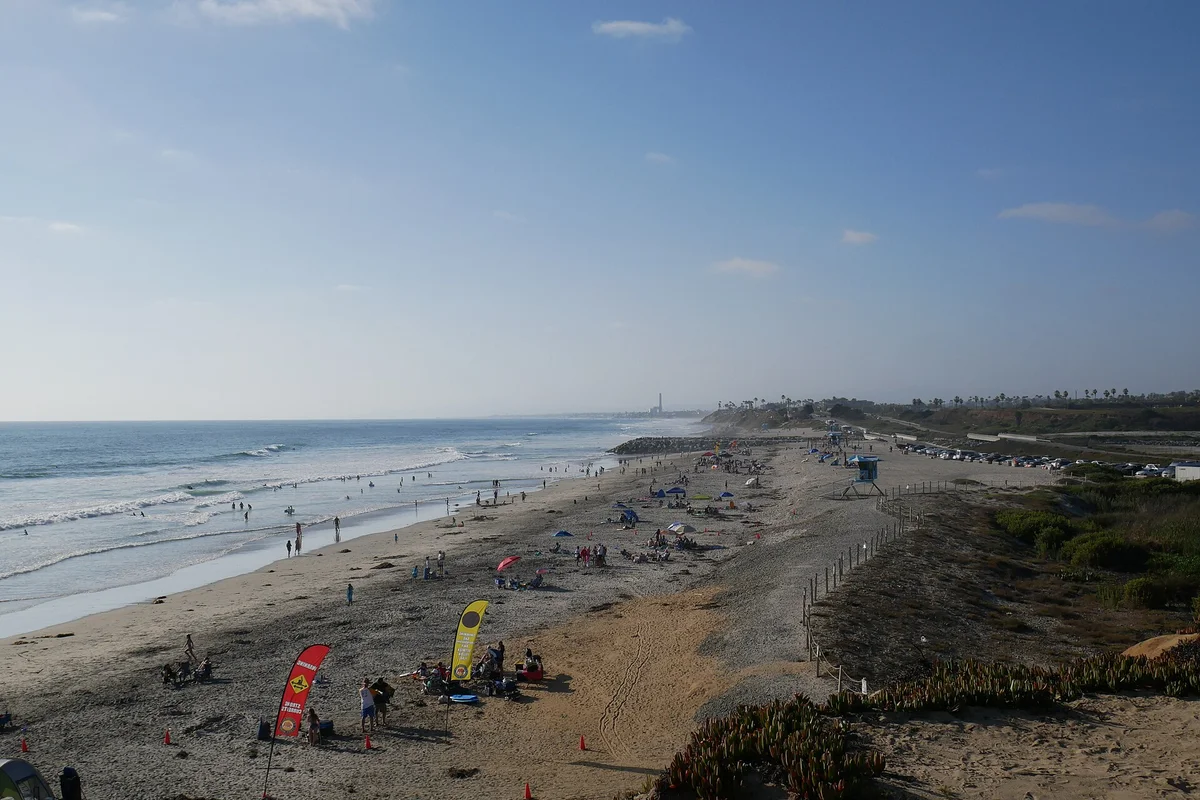
The city describes Coronado Beach as a wide sandy beach approximately 1.75 miles long, with naval-base beaches at its ends. For a first visit, consult the official beach page and map to select the portion that fits your group. The general beach name covers more than a single entrance, and the closest parking point may not be the most convenient place for your planned activity.
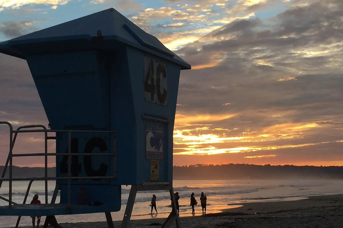
A broad beach still requires a sensible water-safety plan. Check lifeguard information, surf conditions and current water-quality notices before swimming. Choose a visible meeting point before anyone spreads out. If someone is staying on shore, make sure the group can identify them again without relying on a mobile signal or a landmark that looks different from the water.
The Hotel del Coronado area
The Hotel del Coronado is an obvious visual reference along the oceanfront and a useful way to orient yourself. It is not, however, a promise that every hotel facility is open to the general public. Distinguish the public beach from private hospitality spaces. Check directly with the hotel for dining, tours or any activity requiring a reservation rather than assuming a beach visit includes access.
For a simple outing, keep the beach as the main event and treat the nearby streets as an optional second stop. Carry only the gear you can bring back comfortably across sand. If your group wants a restaurant afterward, leave time to clean up and confirm the venue's current arrangements. Do not build the day around an unverified parking shortcut or a supposed free service.
Bayfront views are a different experience
Coronado's bay side is the choice for looking toward downtown, watching harbor activity and composing skyline photographs. The Port of San Diego lists Coronado Ferry Landing Park and Coronado Tidelands Park among its public waterfront parks. Their setting and view are different from the ocean beach. Pick the bayfront deliberately rather than arriving there and wondering where the wide Pacific sand has gone.
For a mixed day, allow for the transfer between the ferry area and the ocean side. Check current transport information and consider the walking distance for the whole group. A route that is pleasant for an unencumbered adult may be a poor fit with beach chairs, tired children or limited mobility. You can also make a rewarding visit without trying to cross town at all.
Arriving by road or ferry
The bridge and Silver Strand provide road connections, while passenger ferry service offers another approach to Coronado. Confirm current ferry routes, schedules, ticketing and bicycle arrangements with the operator. Do not use an old blog timetable to plan a last departure. If the ferry is central to the outing, choose a return time with room for delays and a clear backup plan.
Drivers should check current parking signs at their specific destination. Oceanfront parking, a bayfront lot and a hotel garage have different rules and purposes. Never infer permission from the fact that another car has parked somewhere. When the closest area is full, consider changing the order of the day rather than circling indefinitely or blocking an access point while someone scouts ahead.
Silver Strand: the connection, not a shortcut on foot
Silver Strand explains the peninsula geography and offers a distinct coastal setting south of the main town. If you want to visit Silver Strand State Beach, use California State Parks' current information to plan that separate stop. The name covers more than the land connection visible on a map, and public recreation areas have their own access arrangements.
Do not assume the strand is a short walk between downtown San Diego and Coronado's main beach. It is a long connection around the bay, not a pedestrian substitute for crossing the water. Plan mileage and transport explicitly, particularly for a bicycle outing. Sun, wind and the return trip matter as much as the appealing blue water on either side of a route.
Coronado Islands and South Coronado Island
Searches for islands near San Diego sometimes mix up the City of Coronado with the offshore Coronado Islands in Mexican waters. South Coronado Island belongs to that separate island group; it is not the southern end of Coronado Beach or a neighborhood reached by driving down Silver Strand. Do not use a City of Coronado beach map to plan an offshore island trip.
If an offshore excursion interests you, consult a legitimate operator about the exact itinerary, permissions, border documentation and current conditions. This guide does not promise landings, wildlife encounters or fishing access. The distinction is important even for casual photography searches: an image labeled Coronado Island may show either a developed San Diego-area peninsula or a very different offshore landscape.
Build a day around one clear priority
For ocean sand, start with Coronado Beach and leave time to find your chosen access. For harbor views, focus on a bayfront park and a waterfront walk. For a ferry experience, organize the day around the operator's current schedule rather than using the boat as a last-minute substitute for driving. Each is a complete outing; combining them is optional.
Our San Diego Bay photography guide helps distinguish viewpoints on opposite sides of the water. For another coast-centered plan, browse San Diego attractions near the coast. The best Coronado visit begins with accurate geography and a manageable route, not a checklist of every place with the word island in its description.
Questions before you go
Is Coronado Island an island?
Coronado is connected to the mainland by the Silver Strand, so the familiar island name is not a literal description of a detached island.
Sources & further reading
Official information and references for this guide. Check the source for current access, rules and conditions.