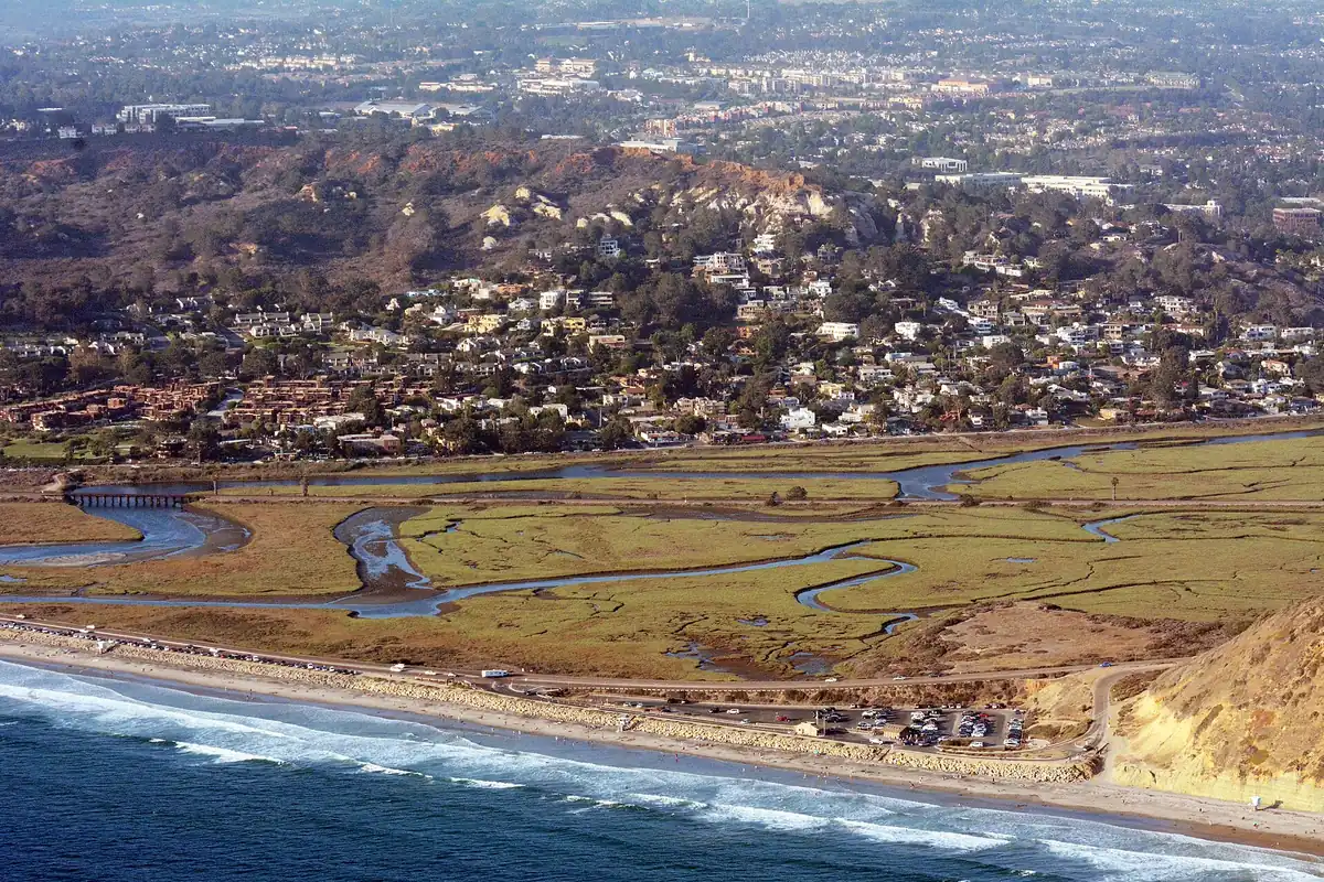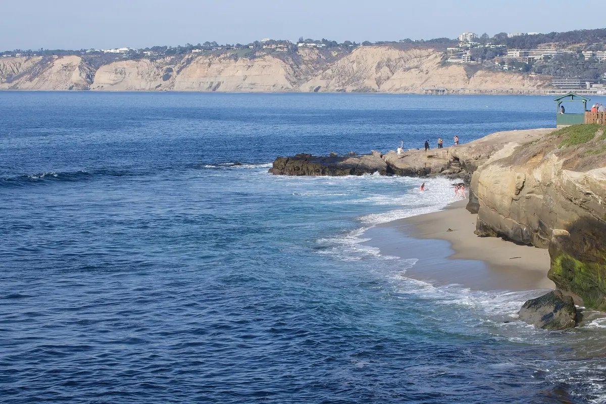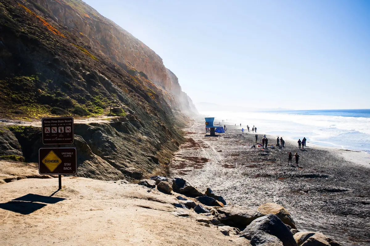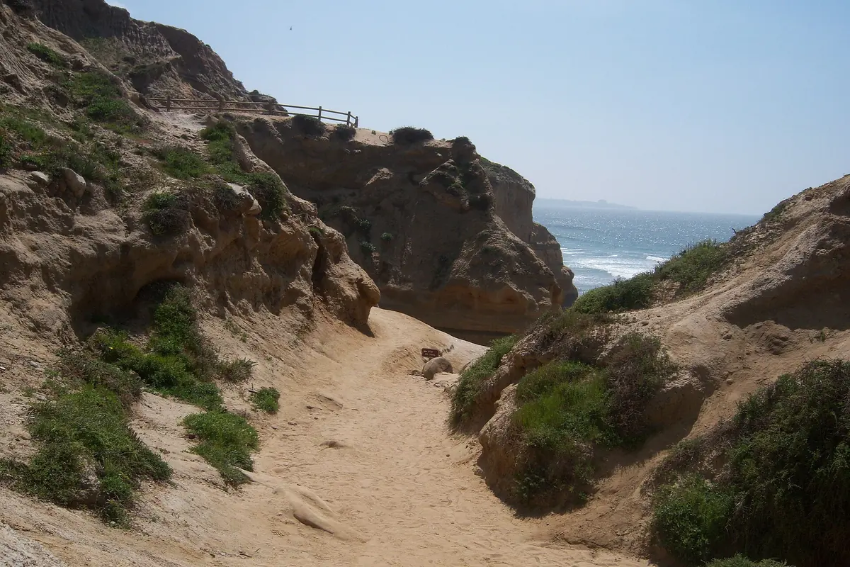
The beach trail Torrey Pines visitors seek is Beach Trail in Torrey Pines State Natural Reserve, a route associated with a descent from the reserve toward the shore. Do not plan it as an automatically available beach shortcut. California State Parks has published utility-project closure notices affecting reserve access, trails and the Beach Trail staircase. Check the official park page before traveling and follow the current notice even if another part of a search result says trails are open.
The map pin marks the reserve generally, not the Beach Trail staircase or a verified current trailhead.
First check: is the reserve open?
The official Torrey Pines State Natural Reserve page is the essential starting point. It can carry temporary notices alongside general visitor information. Read the current restriction panel, its dates and linked project information rather than relying on a cached opening-hours box or an older hiking description.
If the notice is unclear or internally inconsistent, contact State Parks before making the trip. Do not resolve uncertainty by arriving and trying a different gate. A closure to pedestrians is not merely a road closure for cars, and an open beach area does not establish that the reserve trails or staircase are open. Have a different outing ready.
What the Beach Trail visit involves
When open, this is a reserve hike with a beach connection, not a level promenade. Plan for the return climb and any stairs, not just the appealing descent. Use the current official map to select the route and turnaround. This guide deliberately avoids promising a fixed loop because closures, tide and stair access can change the options.
For a mixed-ability group, decide early whether everyone will use the same route. Splitting between an upper trail and the beach requires a clear meeting place and communication plan. Do not let a downhill start hide the amount of effort needed to return. Water, footwear and daylight should be planned for the whole outing.
Torrey Pines Park Road is not the whole hike
Searches for Torrey Pines Park Road often come from visitors trying to understand the relationship between the road, parking and trailheads. Check current vehicle access separately from pedestrian access. A paved road on a map does not guarantee upper parking is available or that walking along it leads to an open trail system during a project.
Follow the reserve's posted traffic and recreation rules. The official rules include restrictions on bicycles and other wheeled devices on the historic park road. Do not treat a hiking itinerary as a cycling route. If road access or steep grades are a concern, ask State Parks about the exact destination instead of assuming a generally paved area is suitable.
A reserve has stricter rules than a picnic park
The Rules of the Reserve prohibit dogs and allow only water, not food or other drinks, above the beach. Picnicking belongs outside that protected upper setting. Pack a snack for an appropriate location rather than opening it on a trail because you have found a scenic bench.
Stay on designated trails, leave plants and natural objects in place and pack out everything you bring. The rules also prohibit drones and smoking. These are habitat protections, not optional etiquette. A small shortcut can damage a fragile slope, and a quiet-looking launch spot does not make drone use permissible.
Tide and surf determine beach options
Do not assume that reaching the bottom of a trail guarantees a safe walk along the shore. A rising tide can cover narrow stretches, while surf can reach much farther than the predicted still-water level suggests. Check the full return window before committing to a shoreline segment.
Our NOAA tide-chart guide explains station choice, time settings and prediction limits. Use it alongside current surf and local safety information. Keep away from bluff bases and overhangs. A dry patch beside a cliff is not a reliable refuge from water or rockfall, and climbing a slope is not an acceptable backup exit.
Enjoy the reserve without collecting mileage
The Torrey pine landscape, coastal vegetation and exposed geology reward a slower pace. Look from permitted viewpoints and notice how wind and slope shape the plants. You do not need to reach the water to have a worthwhile reserve visit when a shorter open route better suits your group.
For photography, keep the trail clear and use existing viewing areas. Do not step onto vegetation to eliminate a railing from a composition. If the group includes young children, explain boundaries before the first viewpoint rather than waiting until someone has already approached an edge.
Alternatives when the route is unavailable
A closure is a reason to choose another trip, not to search for an unofficial access. The coastal hiking hub provides other starting points. If your interest is the wetland side of the Torrey Pines landscape, read the Los Peñasquitos Lagoon guide, which also requires careful attention to protected-area access.
Check the relevant destination's own status before substituting it. Nearby does not mean open, and a nature preserve is not spare space available for any activity displaced from another park. The soundest plan is a modest route with confirmed access and an easy turnaround.
Sources & further reading
Official information and references for this guide. Check the source for current access, rules and conditions.